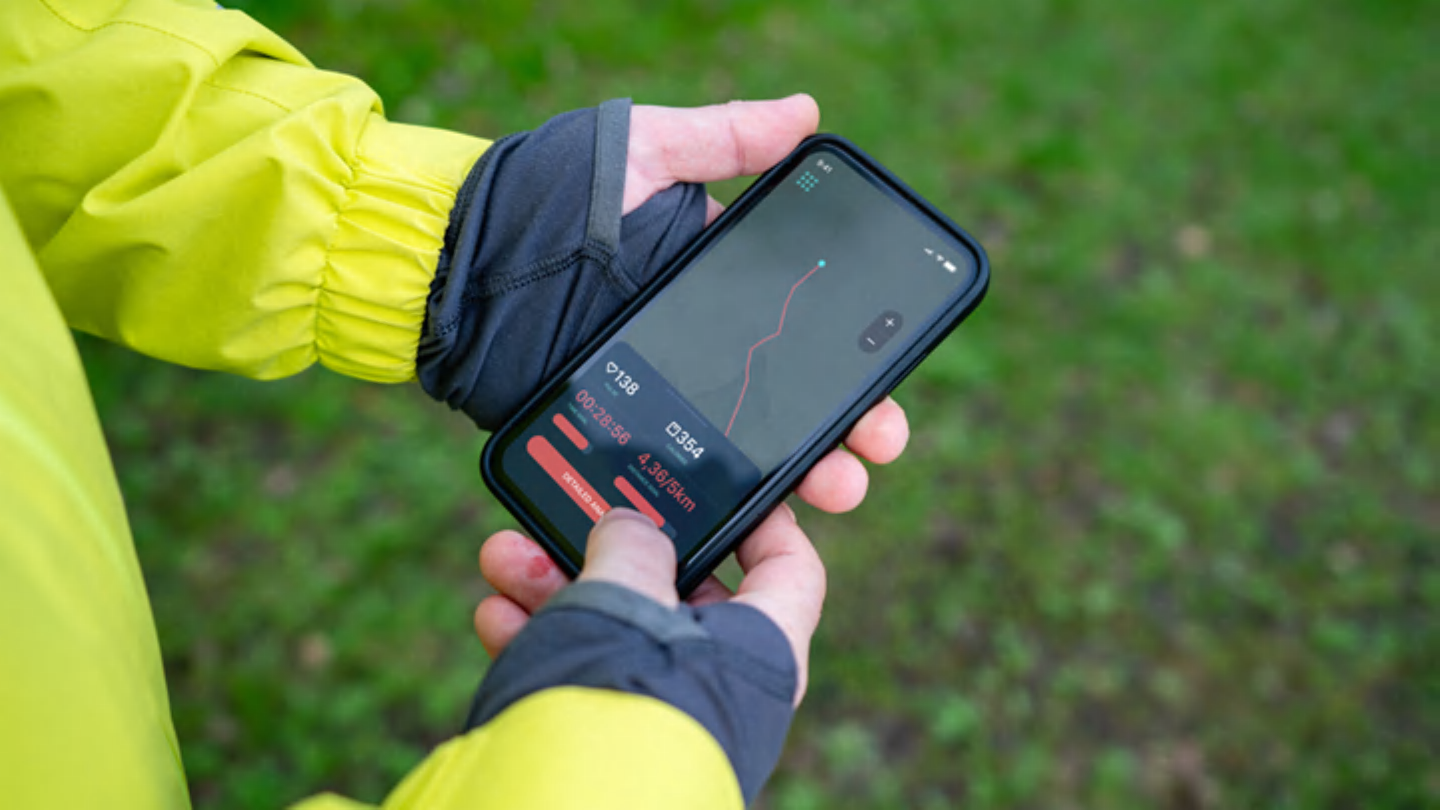
Although relying solely on electronic devices in the outback is never recommended, they may be useful for planning purposes and provide additional navigational support. A standard map and compass is always a more reliable option, but having one of these apps downloaded to your phone can supplement your adventure and safety.
This is a free app that provides a digital guide for climbers looking for rock, ice, or mixed climbing routes. Additionally, it includes a map of your current location showing where nearby climbing spots are located. Mountain Project also has a forum section where you can read and write posts related to gear sales, trip reports, training, and a variety of other mountaineering topics. This is an international app incorporating routes from all over the world, with information, images, maps, grades and helpful advice from other climbers.
This user-friendly app is a mapping tool for hikers visiting the trail. The free version allows hikers to record their activities, use basic map features, and create routes. If you want to use the app offline, rate the weather, and download more maps, you can upgrade to the premium option for $4.99 per month. For an even better experience, take the plunge and subscribe to Gaia’s Outside+ Premium to unlock more informative content.
Most hikers would agree that there are few things more wonderful in this world than being surrounded by nature. It’s even more fun when you know exactly what’s around you. PictureThis allows users to take a photo of any plant and instantly identify it. This app not only tells you the name of each plant, but also determines if they are dangerous to touch. This is especially important for hikers. The more you use the app, the more familiar you become with your surroundings.
AllTrails is another useful app widely used in the outdoor community. It’s easy to use, and fellow hikers post regular updates on trail conditions. The app allows you to filter results based on the trails that best suit what you’re looking for, including wheelchair accessible, dog friendly, and kid friendly. AllTrails is one of the most popular outdoor apps and is usually the first app that novice hikers download.
CalTopo is a featured mapping app that features real-time location sharing, allows multiple users to edit a single page, and allows you to create maps suitable for your adventures. This tool incorporates slope shading and weather information to ensure the safety of outdoor athletes. CalTopo can be difficult to navigate at first, as there are many buttons and terms on the screen. However, if you read the tutorial, you’ll quickly understand how it works. This app is probably best for your mapping needs.


